
How to download a dgn / dwg file
It happens that if we have a file with a lot of information, for example a dgn with 70 layers (levels) and at a certain point we split it by removing some levels to put them on another layer, the original file is still the same size. We can even erase all the data and it remains the same, although it does not have the history activated.
In this case, I have a map that had almost all the information of a municipality, it measures 17 MB. I have erased almost everything but it still measures the same size.
With Microstation.
There are those who do is open a new file, reference the map and copy it via Fence or export it with Fence File. The disadvantage of this method is that you can lose the Historical in case it has been used, you can also miss things that were configured in the file via settings / design file.
 So the best way is to give it a purgative, the term was coined by some friends in a course because this process in AutoCAD is called Purge.
To do it is done File / compress. In the selection Options it is configured to be removed, which includes unused levels, line styles, text styles, cells, etc.

Once selected applies Compress and voila, my 17MB file went down to just 1MB. He also erased some ghost-like objects that are visible on the map but cannot be touched.
It is possible to configure in Workspace / prefferences, and in the option Surgery, so that when you leave Microstation, you compress the file.

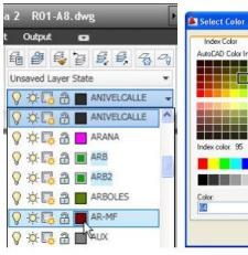
With AutoCAD
File> Drawing utilities> Purge
Here's a bonus option, which shows the items that cannot be cleaned, and gives a reason why. To select them you have to use the Ctrl key.


in the 2016 version how would it be?