Draw online on Google Maps
Imagine that we need to send a map sketch to a client to view on the Internet or in his GPS navigator. As for example, a plot that we have for sale, with the route to get there and directions of the road. Another example could be an area of the MODIS satellite view of that day, which we hope can be loaded into your mapping program.
The simplest thing would be to draw it on Google Earth and send it the saved kml, but if we wanted to use background data like MODIS images, OSM or the Google Maps terrain view, it sure is not that simple.
For this, GPS Visualizer has a very practical free service that lets you work on line sketches of the area, route and point type. Then the file can be saved as kml or gpx.

To draw an area, you just have to mark the points, they can be modified by dragging and to close it, click on the first point. In the case of the route, click on the last point, at the end the option to enter the name of the trace appears.
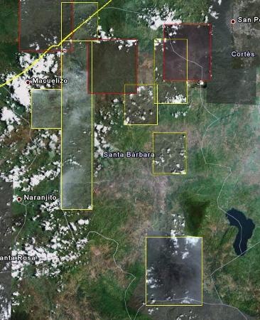
In the background, it is possible to choose Google Maps, in its hybrid versions, satellite image or terrain.  You can also place:
- Open Street Map
- Daily MODIS
- Blue Marble
- Landsat 30m
For countries with more information you can also see:
- USGS topo, aerial + G
- OpenCycleMap top.
- NRCan of the Canadian service.
Also next to the choice of background image you can select a transparency percentage that in case of 100% will only show the map drawn. Of the best of GPS Visualizer, which at the end of the layers, can be saved as a kml file to be displayed on Google Earth or GPX to load on a GPS navigation device.

In some cases, blocked pop-ups can interfere with saving files. Depending on the browser, you have to allow these popup windows to be shown, in the example I am using Google Chrome. It is also convenient to see a tool that does something more limited but on this same topic in Zonum.