
Manifold GIS, a summary of the best
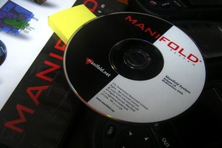 I've been a little over a year to use Manifold System, so after several post from my experience using this software, here is a summary of the best.
Georeferencing maps and images
Tricks and manuals
Events and news of Manifold GIS
Making maps and perversions
comparisons
Comparison between map servers (IMS)
Compare prices ESRI-Mapinfo-Cadcorp
GIS platforms, who take advantage?
The best advantages of Manifold is that for a low price it can do very robustly what ArcGIS Desktop, ArcIMS, ArcSDE, ArcEditor and several of the Arc extensions do. It doesn't do everything that ESRI products do, which are prettier, but it does almost everything it does.
Disadvantages, little known and how to do things is not the conventionalism of ArcGIS, so you have to unlearn a little, The “how to do with ArcGIS and Manifold” manual helped me a lot.
For now, Manifold has to fight the battle to get out of anonymity without raising its prices in an exaggerated way ... and we all have to undermine because a giant doesn't buy it.
You can also check this link for a broader index of Manifold GIS topics touched on this site.
Official Website: http://www.manifold.net


