International Seminar on Spatial Planning

From January 27 to 29, 2009 a seminar on Land Management will be taking place in Lima, aimed at professionals (including politicians) who work on the subject of land management, among the exhibitors are Brazilians, Peruvians and Paraguayans. Aware that to the extent that this field becomes a common topic of discussion, both from an academic perspective and in its practical application, we will be able to understand the Order by something more than painted maps, so we do some propaganda for them now.
Objectives:
- Promote the awareness of professionals and municipal officials about the problems and management potential of their territory.
- Develop a new vision of the Regional, Provincial and Local Provincial planning process, through proper planning of the territory with an emphasis on economic and social infrastructure, the development of population settlements and productive activities.
- Promote and facilitate the sustainable use of natural resources and biological diversity, the orderly occupation of the territory in accordance with the characteristics and potential of ecosystems, the conservation of the environment, the preservation of cultural heritage and the well-being of the population.
- Create or strengthen capacities in technicians and specialists working in planning and development processes of national and local institutions and organizations, which require applying concepts, methodologies and instruments to develop national, regional, municipal and local land planning plans, and also at the level basins
Theme:
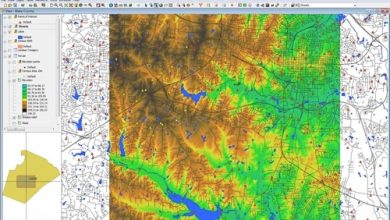
- Political Delimitation
- Natural Risk Management
- Watershed Management
- SPRING Software - BRAZIL
- Food safety
- Gender Participation
- Social conflicts
- Human Security
- National Public Investment System - SNIP
Although it is being organized by PGA, the fact that several academic and governmental institutions are sponsoring it gives us the impression that it will be of great benefit, these are some of the sponsors from where participants are expected:
- Ong`DRIS Sustainable Rural Development.
- Universidad Nacional Federico Villarreal - Faculty of Environmental Geographical Engineering and Ecotourism.
- Universidad Cesar Vallejo - Faculty of Environmental Engineering.
- National University of Cajamarca - Faculty of Engineering.
- National University of Pilar - Ñeembucu - Paraguay.
- Association of Municipalities of Peru.
- Directorate of Hydrography and Navigation of the Peruvian Navy
For a price ranging from 300 nuevos soles, it is worth registering now, participants will receive a CD with all the exhibitions, course documents; in addition, refreshments, certification and right to parking service will be provided ... it will be in Club de la Marina, so the parking takes more utility.
Can be informed more in PGA