
Manifold GIS
-
Geospatial - GIS

SuperGIS Desktop, some comparisons ...
SuperGIS is part of the Supergeo model that I spoke about a few days ago, with good success in the Asian continent. After trying it out, here are some of the impressions I've gotten. In general, it does almost what any other…
Read More » -
Manifold GIS

GIS Manifold, something more with layouts
Some time ago I talked in an article about how to create presentations for print using Manifold GIS. At that time we made a pretty basic layout, in this case I want to show a more complex one. This is an example of a map...
Read More » -
Teaching CAD / GIS

Geographic Information System using Manifold GIS
This is one of those products that you are glad to have promoted, and that in the spirit for which they were built, they are now made available to the community. It is a manual that explains how to implement a System…
Read More » -
Teaching CAD / GIS

The GIS Free Book
It is perhaps one of the most valuable systematization products in the Spanish-speaking environment under the geospatial theme. Not having this document at hand is a crime; Let's not say not knowing the project before reading it in this article by…
Read More » -
Maps

Google Earth; Visual support for cartographers
Google Earth, beyond being an instrument of entertainment for the generality, has also become a visual support for cartography, both to show results and to check that the work being carried out is consistent; what…
Read More » -
My geofumadas

Topics in + 3 years of Geofumadas
After a little over three years with the blog, here I summarize some statistics that have helped me to plan the topics and priorities for 2011. Trying to stay on the theme glimpsed in the first post, the total…
Read More » -
Maps

How Mapserver Works
Last time we talked about some criteria why MapServer and the basics of installation. Now let's see some of its operation in an exercise with the maps of the Chiapas friends. Where it is mounted Once Apache is installed, the…
Read More » -
Engineering

Alibre, the best for mechanical design 3D
Alibre is the name of a company, whose name has origins in the Latin word Liber, where freedom, liberalism, libero comes from; In short, the feeling of freedom. And it is that the intention of this company is based on offering…
Read More » -
Cadastre
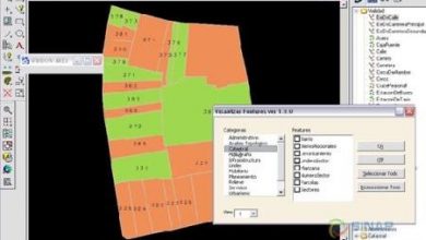
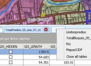
Deciding by MapServer
Taking advantage of a recent conversation with a Cadastre institution that was looking for what to publish its maps with, here I summarize the most important thing to return the rescues of the subject to the community. Perhaps at the time it will serve someone who wants...
Read More » -
My geofumadas

Geofumadas, just photos
A complicated month in time, but satisfactory in achievements and family passions with my children and the girl who lights up my eyes. I have barely been able to post a couple of times, here is a brief photographic summary. The process…
Read More » -
Geospatial - GIS
G! Tools, facilitating the use of Bentley Map
A few days ago I started a development on .NET Visual Basic from Microstation, with which I hope to solve the limitation that Bentley Map has, with its Geospatial Administrator. To do this, I have captured an old pupil with whom we began to geosmoke...
Read More » -
ArcGIS-ESRI

Profiles from my ArcGIS course
Before I told you that I was going to develop a training in the use of ArcGIS 9.3, with a medium-sized modality due to the distance, my little time and the occupations of the students. Now I leave you with some conclusions: About the methodology:…
Read More » -
Geospatial - GIS

Bentley Map, my expectation for the Be Together
I have just received the invitation to attend Be Together, an event that raises interesting expectations in me, after it seems that the economic crisis is settling in and opportunities have to be reactivated. The best with the…
Read More » -
Manifold GIS

Where are the users of Manifold GIS?
Some time ago, a Dutch tech guru told me this sentence: “Honestly, I'm surprised by what the Manifold page says. It's just that I've never seen it run on a machine” This week, Patrick…
Read More » -
ArcGIS-ESRI

CAD / GIS boot comparison
This is an exercise in equal conditions, to measure the time it takes to start a program from the click on the icon until the moment it is running. For comparison purposes, I've used the one that boots on...
Read More » -
ArcGIS-ESRI

Generate contour lines with ArcGIS
Carrying out a cadastral survey with a total station, apart from having millimeter precision, can also be useful for other purposes, since the elevation of each point is available. Let's see in this case, how to generate level curves,...
Read More » -
innovations

CAD / GIS platforms must go to the GPU
Those of us who are users of graphic applications are always waiting for the equipment to have enough working memory. In this, CAD/GIS programs have always been questioned or measured based on the time it takes to carry out activities...
Read More » -
Geospatial - GIS
TatukGIS Viewer… a great viewer
So far it's one of the best (if not the best) CAD/GIS data viewers I've seen, free and handy. Tatuk is a line of products that was born in Poland, just a few days ago the version was announced…
Read More »